top of page


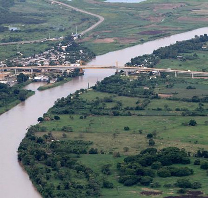
Topography
· Conventional Topographic Surveys with Total Station and Robotics
· Cartography with centimetric precision RTK GPS technology
· Processing and analysis of geo-information and assembly of GIS systems
· Topographic surveys with RTK drone and ground control points
· Orthophotogrammetric surveys with Drone phantom 4 RTK
· Architectural surveys with Leica BLK 360 scanner


bottom of page